

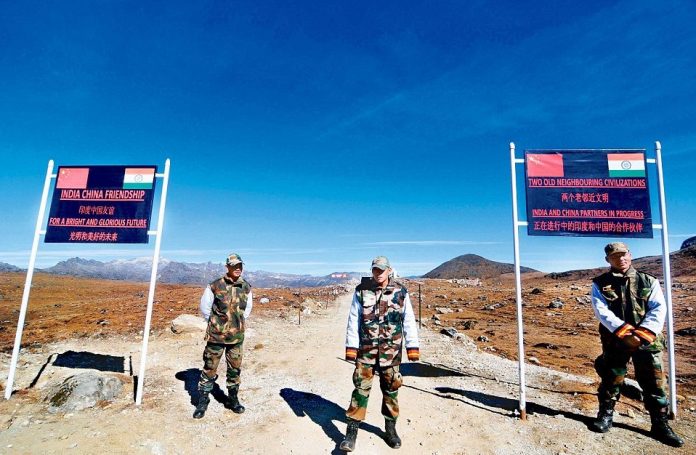
India is building a 78-km strategic road in its easternmost village of Arunachal Pradesh, reaching as close as 4 km from the Line of Actual Control (LAC), near the crucial tri-junction of India, China, and Myanmar, an exclusive report by CNN News18’s Aman Sharma said.
On February 1, the Centre embarked on the construction of a new road connecting Dong village to Jachep camp in Arunachal Pradesh by inviting bids with a deadline of three years. The road holds importance as Dong is India’s easternmost village and the new highway will reach Jachep, situated 4 km from China and 20 km from Myanmar’s borders.
With a cost of close to Rs 200 crore, the 3.75-meter-wide highway would be critical for transporting personnel, weapons, and ammunition near the LAC and the tri-junction with China and Myanmar. A helipad is also planned along the road, which will traverse steep terrain with a maximum speed limit of 30-40 km/hr.
The project begins in Dong, where the Lohit and Seti rivers converge in Arunachal Pradesh, and ends at Jachep camp, 4 km before the Line of Actual Control. The road route starts at an altitude of 1,255 meters in Dong and rises to a height of 4,500 meters near the tri-border area of China, India, and Myanmar.
As per the CNN News18 report, the major part of the highway has to navigate through snow-clad mountain tops to counter the steep rise in elevation near Patthar camp.
A greenfield project, the road will be built in accordance with the single-lane national highway specifications.
In the last few years, Indian and Chinese Armed forces have locked horns in the forward positions along the border in Arunachal Pradesh. In December 2022, Defense Minister Rajnath Singh announced that Chinese soldiers tried to cross the LAC in the Tawang sector’s Yangtze area to unilaterally alter the status quo but were driven back by Indian troops’ prompt response.
Before that, in October 2021, a large contingent of Chinese forces tried to violate the LAC at Yangtze, resulting in a major confrontation between the two sides. It reportedly culminated in the temporary detainment of Chinese troops in the region. The Chinese soldiers also attempted to destroy some unoccupied bunkers at the Bum La and Yangtze border crossing near the Arunachal Pradesh LAC.
Earlier last month, News18 had exclusively reported that a new single-lane highway of around 135 kilometres will be built alongside the Line of Actual Control (LAC) from Chushul to Demchok in Ladakh in the coming two years. The road was billed as a major strategic asset for the country to counter China. This road construction project will provide a second boost to infrastructure in the Leh region, following the Indian Border Roads Organization’s invitation to bid on the construction of the Nyoma Airfield in Ladakh last month. The airfield will feature an advanced landing ground, enabling fighter planes to land quickly.